نبتون ديب ماب
NEPTUNE
DEEP MAP
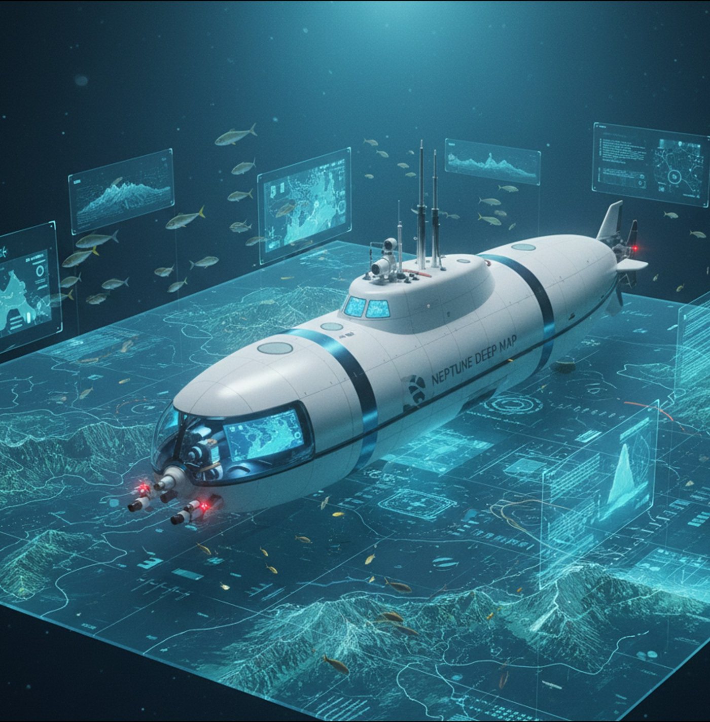
“Google Maps” for the Underwater World
Overview
Smart Ocean Mapping
The first interactive 3D platform for ocean maps, with daily updates and global coverage.
Key Specifications
- Maps
- Interactive 3D
- Data Layers
- Depths, minerals, marine life, currents
- Data Sources
- Satellite imagery + real-time sonar
- Analysis
- AI-powered
- Updates
- Instant, via underwater 5G buoys
- Access
- Mobile app
- Market Value
- $300–600M annually
- Expected Revenue
- $60–120M per year
Features
- Interactive 3D maps
- Multiple layers: depths, minerals, marine life, currents
- Services for researchers, navigators, and divers
- Mobile app with user-friendly interface
Target Audience
- Universities
- Research centres
- Shipping companies
- Government agencies
- Tourist divers
Geographic Markets
- Red Sea and Arabian Gulf (Phase 1)
- Mediterranean Sea and Indian Ocean (Phase 2)
- Other global seas (future)
Competitive Advantages
First Interactive 3D Ocean Map Platform
Projected Market Value of $300–600M Annually
Instant Updates via Underwater 5G Buoys
Gallery
All specifications and financial figures are preliminary estimates and subject to change.